Map Snap, with Google Maps edition

- Publisher: Wimlog
- Genre: Navigation
- Released: 29 Aug, 2014
- Size: 8.7 MB
- Price: FREE!
 Click here to request a review of this app
- App Store Info
Description
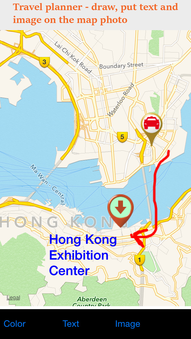
Map Snap is an application to make a snapshot of a map to jpeg photo, then write text, draw, or put image on the photo and save to the default camera roll.When to use?
- Going to travel to a strange place with different language, and no 3G or WiFi for navigation. Use as a travel planner, and best for overseas trip.
- Show the destination to the taxi driver, or ask for road direction.
- Show your shop location if you are a shop owner. Put the map photo online for the customer.
- Show the event location. Send the photo to your friends or family.
- Mark your outdoor activity such as hiking, cycling, running, rock climbing, etc. Also write down your expected time to start and finish. Send it to your family members for your own safety.
- Show where you are, or where you have been, and upload the photo to the social networks.
Features:
- able to choose Apple maps (default) or Google maps
- provide normal view, satellite view and hybrid view
- text with different color. Able to re-location, resize and rotate
- drawing line come with different color and width, with different transparency (alpha value)
- provide with common map icons for adding on the map photo.
- edited image is save to camera roll, which can be send with Airdrop, email, or post to social networks
- one click to show your current location on map (Location privacy required)
- search a place and show the location on map
Minimum requirement:
- iOS 7
Privacy requirement:
- Photo access to save the photo
- Location (optional)


