Crater Lake Trail Map Offline

- Publisher: John Buttery
- Genre: Travel
- Released: 1 Feb, 2015
- Size: 205.9 MB
- Price: FREE!
 Click here to request a review of this app
- App Store Info
Description
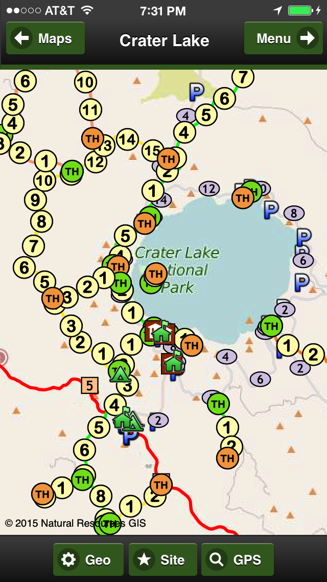
"Best digital road and trail map of Crater Lake."8 Base Maps:
OFFLINE Map and Imagery (no internet or phone service required), 3 premium imagery map providers, 2 sets of streets, online Terrain and Topo maps
15 Geographic Overlays:
Highways, major roads, trails, hotels, camps, picnics, parking, rangers, stores, gasoline, towns, peaks, views, lakes, and park boundary.
Hiking Trails in the App:
Bald Crater Loop - 12.2 miles
Bert Creek - 1.3 miles
Boundary Spring - 2.7 miles
Cleekwood Cove - 1.0 mile
Crater Peak - 2.7 miles
East Entrance - 4.1 miles
Garfield Peak -1.6 miles
Lightning Spring - 3.7 miles
Llao Rock - .5 miles
Mt Scott Lookout - 2.1 miles
Pacific Crest Equestrian - 15.7 miles
Pacific Crest South - 10.7 miles
Pacific Crest Central - 6.0 miles
Pacific Crest North - 11.5 miles
Pumice Flat - 2.5 miles
Stuart Falls - 2.3 miles
Union Peak - 2.4 miles
Wizard Island - 1.4 miles
Social Media:
Videos, Photos, Facebook and Twitter.
Services:
GPS and weather
Languages:
English, Spanish and Portuguese


 FREE
FREE


